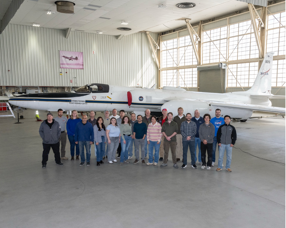
University of Iowa students recently experienced airborne research firsthand, traveling to California's Mojave Desert for a NASA mission to verify satellite data using a high-altitude aircraft soaring 12 miles above Earth.
Flying above 94% of the Earth's atmosphere, so high the pilot wears an astronaut-like pressure suit, the ER-2 aircraft's instruments mimic satellite sensors. This allows validation of data from NASA's ICESat-2 and the European Space Agency's EarthCARE satellites.
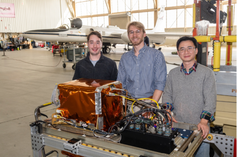
“I never imagined how complex it is to get multiple sensors integrated to an aircraft and then get the aircraft exactly where needed, under the right observing conditions, to make coincident measurements with a satellite as it zips past,” said Grant Finneman, a graduate research assistant in the Iowa Atmospheric Sensor Development Laboratory (IASDL). “This has been a spectacular learning experience, and we are very grateful that NASA invited us and paid for our participation.”
IASDL is led by Matthew McGill, professor of chemical and biochemical engineering and faculty affiliate of the Iowa Technology Institute (ITI). Also participating were Jackson Begolka, a graduate research assistant in the IASDL and PhD candidate in chemical and biochemical engineering, and Shi Kuang, an ITI research scientist.
“I really hope to be involved in similar field campaigns in the future because this has been a spectacular learning experience,” Begolka said. “This is why I wanted to pursue graduate studies, and I hope to be a leader of similar activities in the future.”
The work, occurring from January 27 to February 7, was part of the Goddard Lidar Observation and Validation Experiment (GLOVE) field campaign operated out of NASA’s Armstrong Flight Research Center in Edwards, California. GLOVE is led by John Yorks from NASA’s Goddard Space Flight Center. The aircraft payload included lidar, radar, and passive imagers.
The students helped with testing and setting up instruments, planning flights, and analyzing data after flights. They also tested new machine learning algorithms created by IASDL members. These algorithms enable real-time processing and transmission of lidar data from the aircraft to the ground, allowing for the data to be used in air quality forecast models and for real-time decision-making.
“This is exactly the type of experience our students need to propel them to post-graduate success,” McGill said. “Experiencing the energy where engineering meets science is eye-opening for students.”