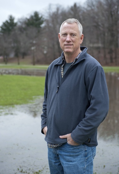
State Geologist Keith Schilling reflects on his 40-year career illuminating Iowa’s geological mysteries.
Geology rarely yields absolute truths. Working with rocks and soils deposited centuries ago deep beneath the surface demands comfort with uncertainty — a challenge Keith Schilling has embraced throughout his 40-year career.
Iowa’s state geologist and director of the Iowa Geological Survey (IGS) at the University of Iowa combines scientific methods with creativity and storytelling to illuminate Iowa’s geological mysteries, particularly its water systems.
“As a geologist, you never have enough data and information for a ‘right answer,’ Schilling said. “You assemble the weight of evidence and explain what is going on through storytelling and interpreting.”
Considered an expert in hydrogeology, Schilling has made a mark in groundwater flow and quality, surface and groundwater interaction, nonpoint source pollution, and watershed and floodplain processes. His research record reflects a variety of interests, with nearly 250 journal and other scholarly publications and 10,000 citations in leading geology, water, and environmental journals.
Schilling also helped the 133-year-old IGS transition from the Iowa Department of Natural Resources to the University of Iowa a decade ago and ushered in a more entrepreneurial approach, expanding fee-based services and research. He was officially named state geologist in 2018.
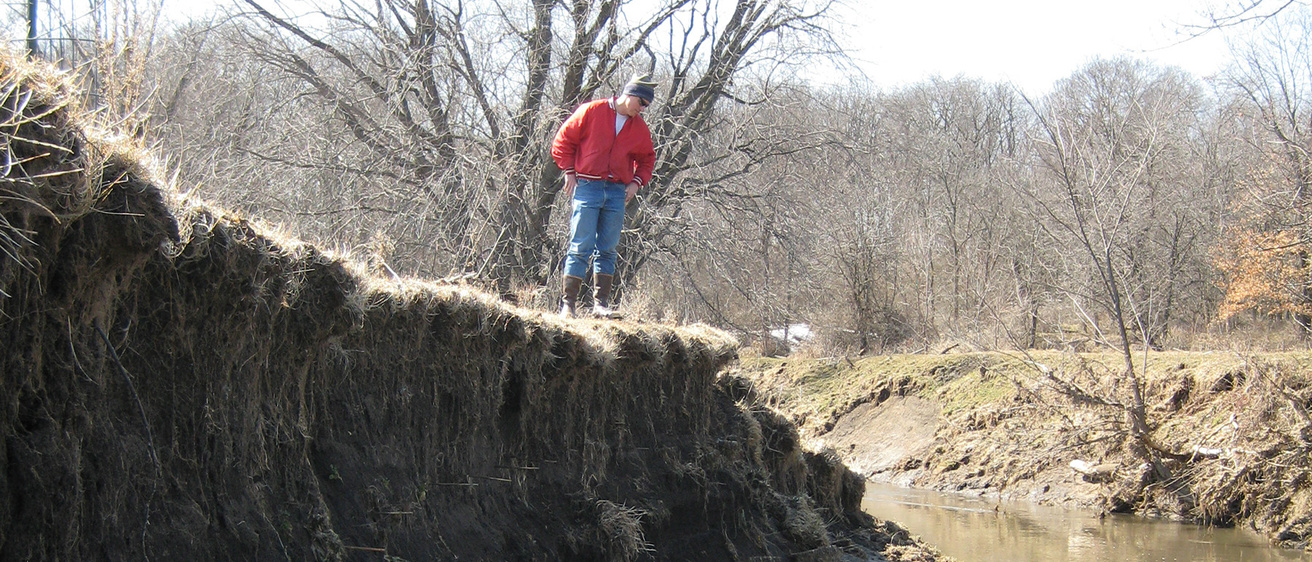
Despite his administrative duties, Schilling remains an active researcher who treasures fieldwork across the state.
His groundbreaking work at the Neil Smith National Wildlife Refuge and collaborations with the Iowa Nutrient Research Center have advanced understanding of groundwater dynamics and nonpoint source pollution, directly improving Iowa’s water quality management.
Raised in Cedar Rapids with roots in century farms, Schilling discovered geology as a career path during a class at Knox College: “Everyone loves mountains, but I wanted to know why they’re there, how they formed.” Answering the “why” still drives Schilling.
After graduating during the 1985 oil crisis, his path led him through Arizona land surveying, a master’s at Iowa State, and eventually a PhD at Iowa. He achieved a career aspiration by joining IGS in 1998.
Calvin Wolter, GIS analyst at IGS, noted that their complementary expertise developed over many years has improved understanding of groundwater travel time and streambank erosion impacts. Meanwhile, Schilling’s knowledge has influenced Peter Jacobson, professor of biology at Grinnell College, and hundreds of students. Jacobson recalls Schilling discussing with students groundwater samples that were “tens of thousands of years in age — a resource that needed to be used judiciously.”
Collaborator Thomas Isenhart of Iowa State University concluded that “while Schilling’s legacy will be well documented in his numerous scientific manuscripts, it will also be seen in the myriad of conservation practices implemented across the Iowa landscape.”
Staff excellence
Keith Schilling won the Board of Regents Staff Excellence Award, recognizing broad contributions to the university and state. Schilling’s work helps complement existing programs, such as the Iowa Flood Center and Iowa Nutrient Research Center, with effectively communicating the need to manage natural resources in the state for long-term sustainability and economic development.
IGS celebrates 10 years at the University of Iowa
Since joining IIHR in 2014, the IGS team has leveraged state support to secure funding from partners including the U.S. Geological Survey, Iowa Nutrient Research Center, U.S. Army Corps of Engineers, Iowa Homeland Security and Emergency Management, Iowa Department of Transportation, and community-funded projects. In just 10 years, the IGS has doubled its staff and completed more than 180 unique projects providing essential services to Iowa communities by developing detailed bedrock maps, critical resource and groundwater vulnerability maps, and innovative nutrient reduction strategies, as well as by monitoring levees and groundwater levels.